


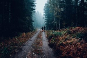
The Pere Marquette River area is rich with wildlife, offering great outdoors hunting and fishing opportunities.
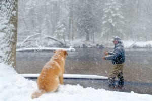
The spring/fall runs of steelhead and salmon, the resident brown trout and “brookies” make the PM River extremely popular for fishing.
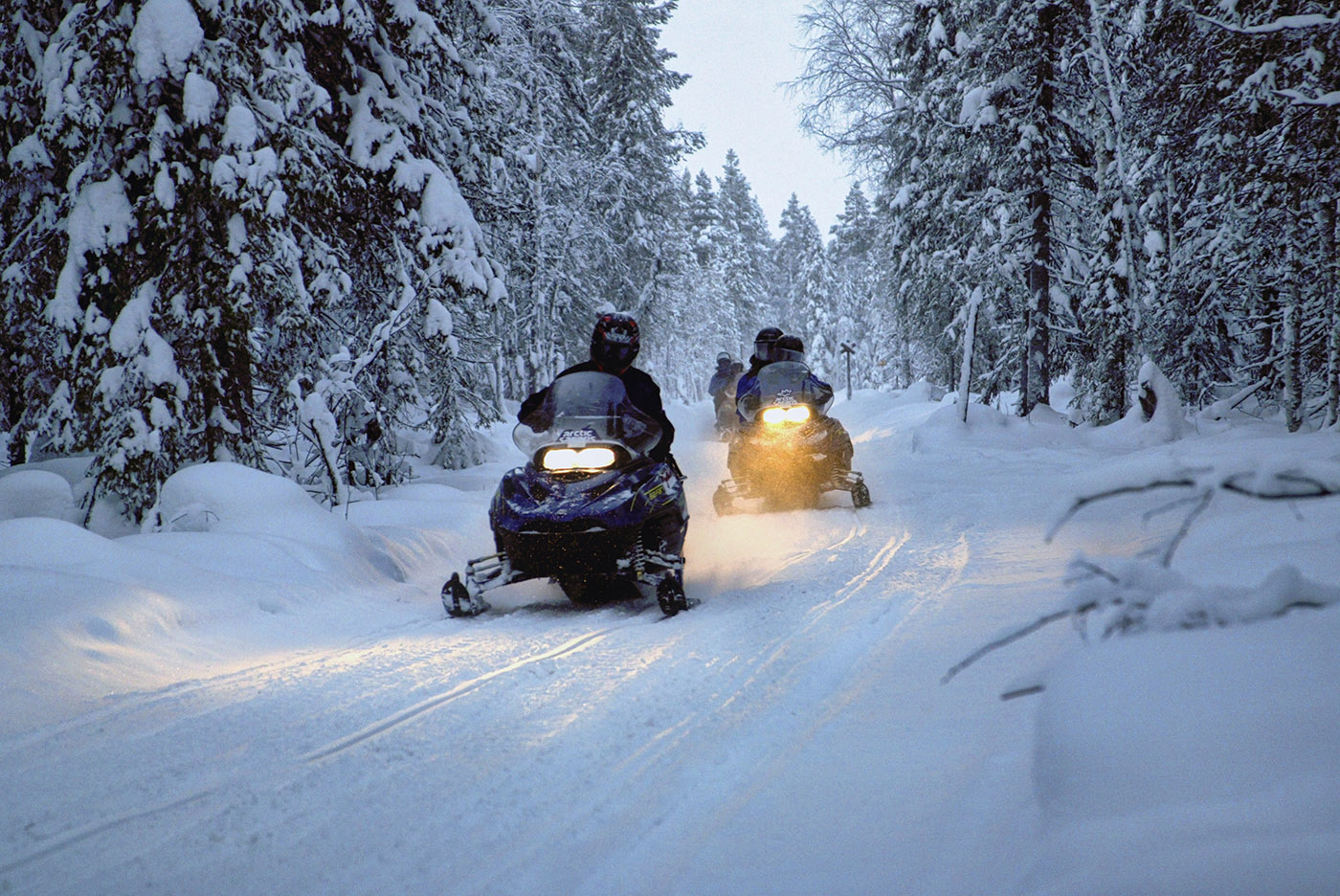
All year long, there are activities going on in the Scottville area to keep everyone happy. No matter what the season, there’s always plenty of great events to keep you coming back. Boredom is never a problem here!
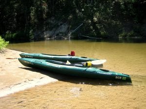
Pere Marquette River, with it’s moderately fast current and clear water, is an extremely popular river for canoeists and kayakers.
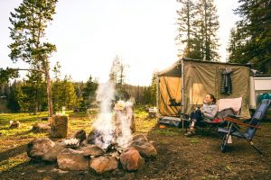
The Pere Marquette River is extremely popular with canoeists and fishermen. Many camping options are available along the river.
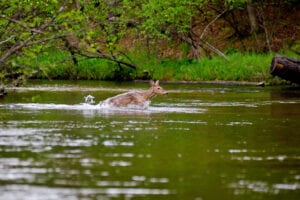
The Pere Marquette River area is rich with wildlife, offering great outdoors hunting and fishing opportunities.